Europe
Paleogeography of Europe
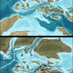
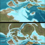
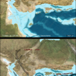
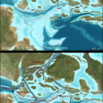
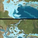
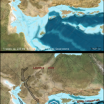
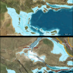
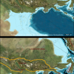
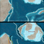
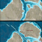
The paleogeographic maps of Europe were completed in January 2011 after two years of data gathering and map making. The maps were compiled from many sources (see references) and do not follow any single model (I am unaware of any model that traces European history over 600 Ma). Rather, the maps represent compilations and compromises from the geologic literature. Particular attention was paid to making sure that tectonic and geologic events between adjacent time slices made geologic, geographic (space issues), and tectonic sense.
The newer global series of maps, Global Paleogeography and Tectonics in Deep Time (2016) use newer plate models than were available when the Europe Series was completed. These differences are most noticeable during the Mesozoic and Cenozoic in the Alpine/Mediterranean regions.
Highlights of the geologic history presented in the paleogeographic maps include:
- Ediacaran opening and rapid early Paleozoic spreading of Iapetus Oean and subsequent stages of closing marked by fringing island arcs along both Laurentia and Baltica
- Classic Baltica-Laurentia-Avalonia collision to close the Iapetus and form the Caledonian-Acadian orogeny
- A two-ocean (Rheic to north, Moldanubian-Paleotethys to south) model for the Variscan orogeny with a ribbon microcontinent between the two oceans — Armorica (or Hun) superterrane — that was caught between the convergence of Baltica and Africa
- The importance of the African promontory and its position fastened to Africa during the Variscan orogeny
- A Variscan/Pangaean Europe with a fixed African promontory that faced the Paleotethys and Neotethys oceans and securely filled the apex between Europe and Africa
- The rifting of terranes from Gondwana and the African promontory to close the Paleotethys, open the Neotethys, and generate the Cimmerian (senso latto) orogeny
- The African promontory rifted from stable Europe in the Jurassic as the Alpine (Penninic-Piemont) Ocean opened
- Most of the African promontory remained attached to Africa until the late Mesozoic and Cenozoic — its dismemberment during the Cretaceous and Cenozoic and subsequent collision with stable Europe was a major factor in the various phases of the Eoalpine-Alpine orogeny
- As Africa was forced towards Europe during the opening of the Atlantic, the Alpine Ocean and the eastern Tethys Ocean and its various arms were closed and the Alpine orogeny was generated
Paleogeography of Europe Map List
27 Total Time Slices
| Present | 00 Ma | ||
|---|---|---|---|
| Pleistocene | 021 Ka | ||
| Miocene | 13 Ma | ||
| Oligocene | 25 Ma | ||
| Eocene | 50 Ma | ||
| Cretaceous | 75 Ma | 100 Ma | 125 Ma |
| Jurassic | 150 Ma | 175 Ma | 200 Ma |
| Triassic | 225 Ma | ||
| Permian-Triassic | 250 Ma | ||
| Permian | 275 Ma | ||
| Pennsylvanian | 300 Ma | ||
| Mississippian | 325 Ma | 350 Ma | |
| Devonian | 375 Ma | 400 Ma | |
| Silurian | 425 Ma | ||
| Ordovician | 450 Ma | 475 Ma | |
| Cambrian | 500 Ma | 525 Ma | |
| Ediacaran | 550 Ma | 575 Ma | 600 Ma |
Europe Series Thumbnails
- Europe Pleistocene ca. 0 Ma
- Europe Miocene ca. 13 Ma
- Europe Oligocene ca. 25 Ma
- Europe Eocene ca. 50 Ma
- Europe Cretaceous ca. 75 Ma
- Europe Cretaceous ca. 100 Ma
- Europe Cretaceous ca. 125 Ma
- Europe Jurassic ca. 150 Ma
- Europe Jurassic ca. 200 Ma
- Europe Triassic ca. 225 Ma
- Europe Triassic ca. 250 Ma
- Europe Pennsylvanian ca. 300 Ma
- Europe Mississippian ca. 350 Ma
- Europe Devonian ca. 400 Ma
- Europe Silurian ca. 425 Ma
- Europe Ordovician ca. 450 Ma
- Europe Cambrian ca. 500 Ma

